this post was submitted on 11 Jun 2023
26 points (100.0% liked)
Creative
4278 readers
1 users here now
Beehaw's section for your art and original content, other miscellaneous creative works you've found, and discussion of the creative arts and how they happen generally. Covers everything from digital to physical; photography to painting; abstract to photorealistic; and everything in between.
(It's not mandatory, but we also encourage providing a description of your image(s) for accessibility purposes! See here for a more detailed explanation and advice on how best to do this.)
Subcommunities on Beehaw:
This community's icon was made by Aaron Schneider, under the CC-BY-NC-SA 4.0 license.
founded 3 years ago
MODERATORS
you are viewing a single comment's thread
view the rest of the comments
view the rest of the comments

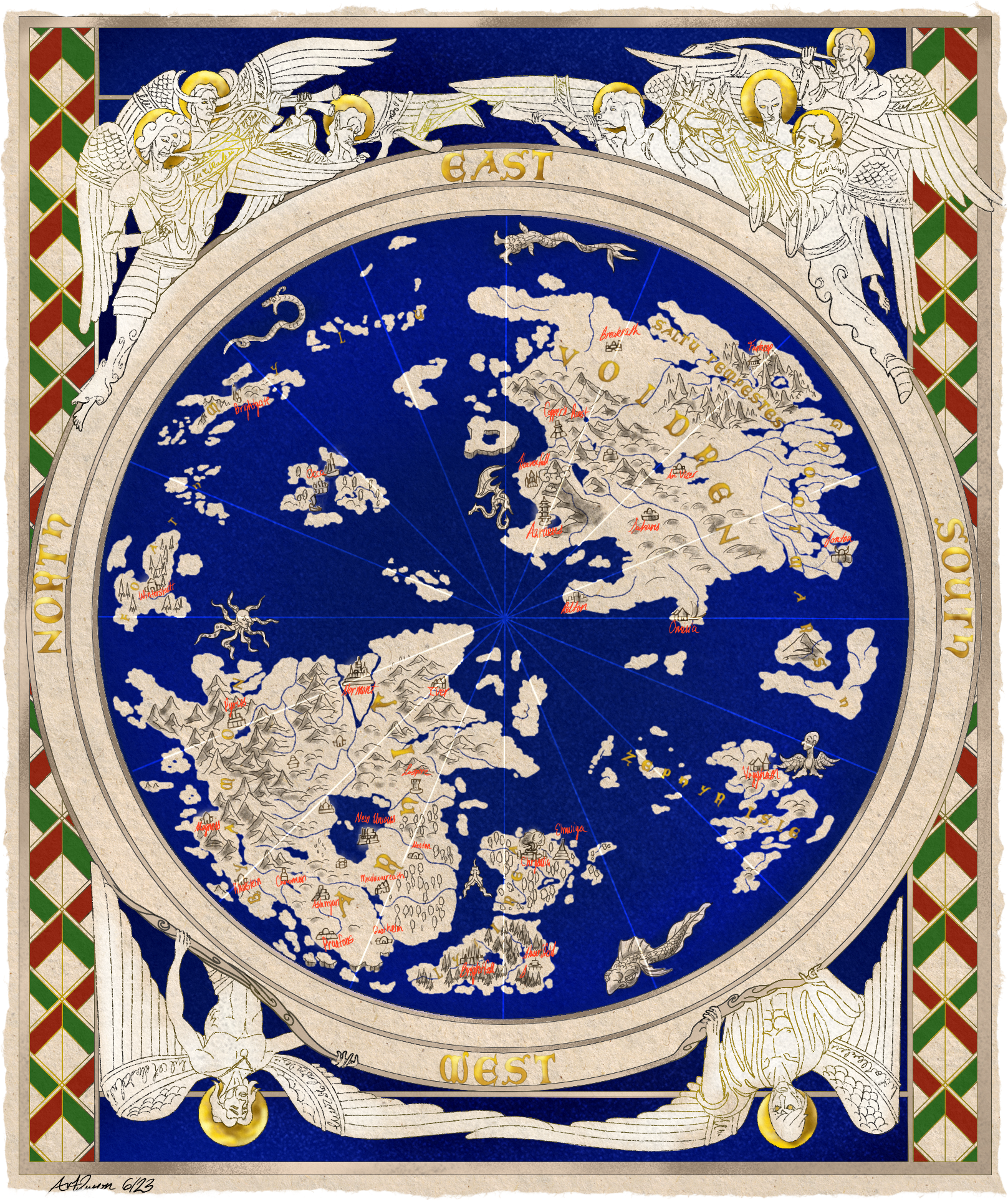
They usually used latin, hebrew, or other languages rather than what we would use, probably. If you check, you may see that they've done that. Or it may be one of those things where it was just an assumed orientation.
In the case of using East at the top, it was not uncommon because East is the direction the sun rises. So, you'd orient them east. We use compasses now, but they didn't necessarily have them back when many of these maps were made. So, the most consistent landmark may have been a star, probably the sun. I know of old maps made by the Hebrews that set Jurusalem at the center, with east as the top as well. I imagine some maps may have even included constellations, though I that's just a guess, and I have no evidence for it.